File:Exterior Kansas Azimuthal Projection.png
Jump to navigation
Jump to search
Size of this preview: 600 × 600 pixels. Other resolution: 1,080 × 1,080 pixels.

Original file (1,080 × 1,080 pixels, file size: 395 KB, MIME type: image/png)
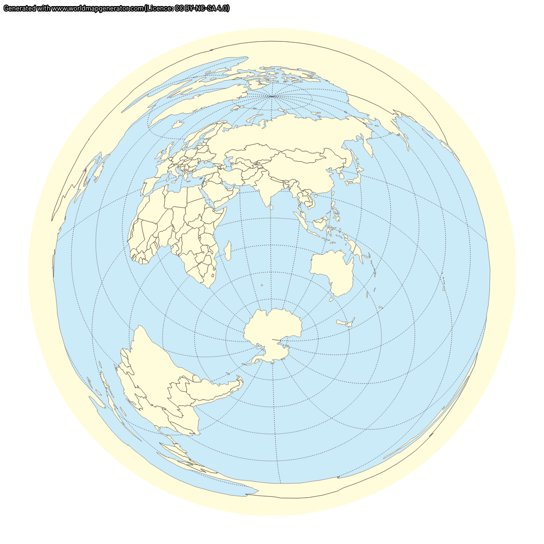
Azimuthal equidistant projection around 40 S 99 E. This is the antipode (within rounding) of the geographic center of the contiguous United States (39°50′N 98°35′W). The projection was generated with worldmapgenerator.com and is licensed CC-BY-SA.
File history
Click on a date/time to view the file as it appeared at that time.
| Date/Time | Thumbnail | Dimensions | User | Comment | |
|---|---|---|---|---|---|
| current | 01:48, 8 July 2026 | Error creating thumbnail: Unable to save thumbnail to destination | 1,080 × 1,080 (395 KB) | Maintenance script (talk | contribs) | Imported from explainxkcd.com archive |
File usage
The following page uses this file:
